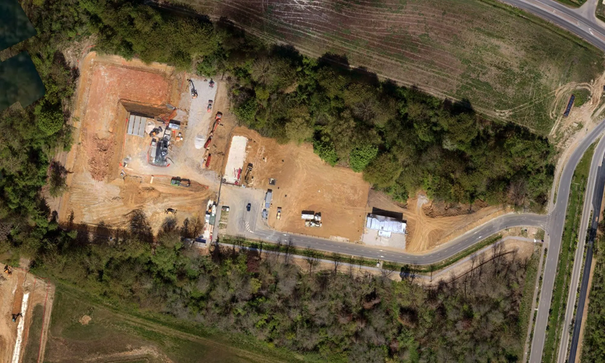
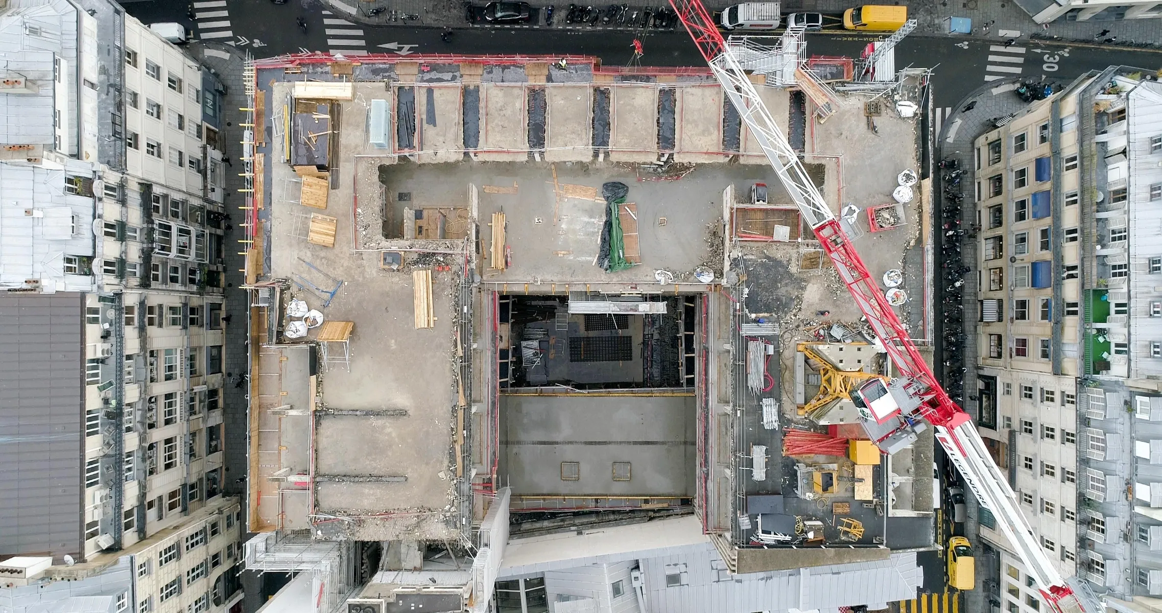
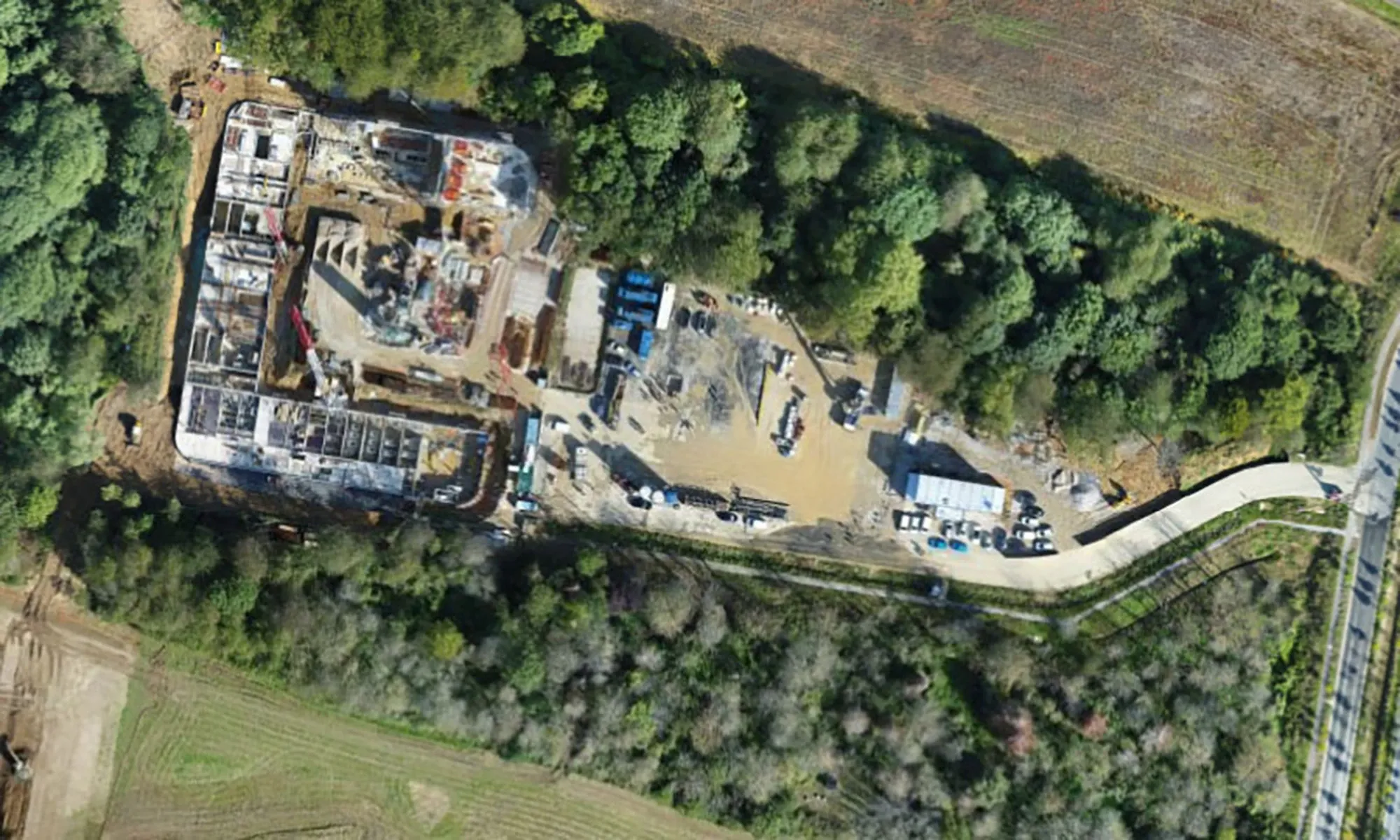
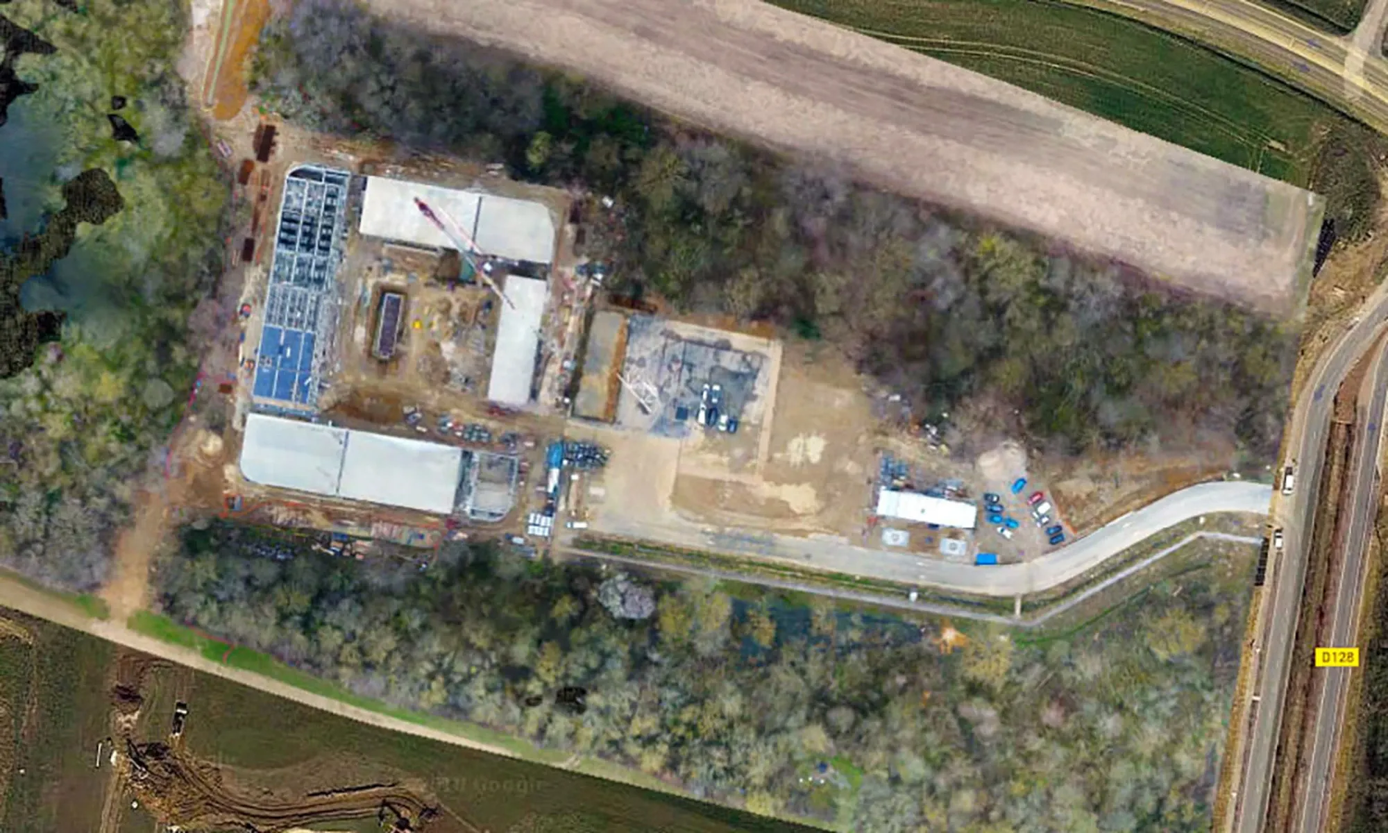
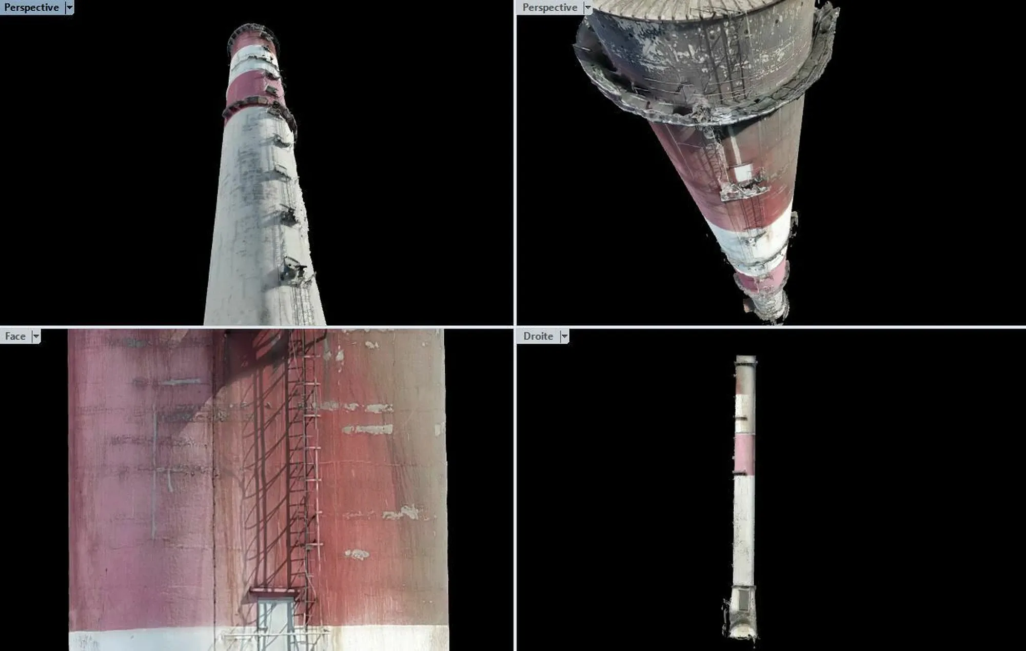
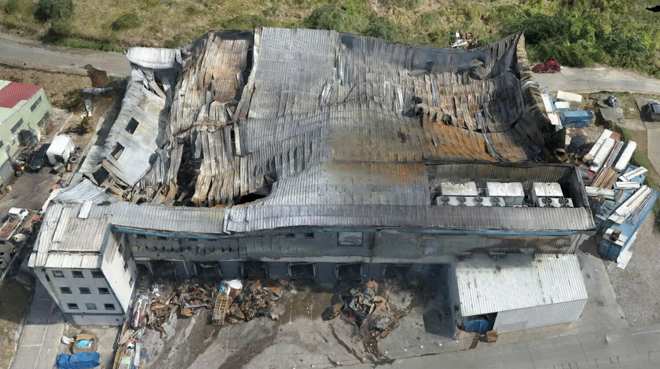
Track, control, and archive the progress of your construction sites with our collaborative drone and 3D scanner tracking solutions.
Collaborative tools for optimized management
With Dronotec, visualize the progress of your construction sites in real time through regular mappings and online-accessible digital twins. Our services allow you to annotate maps, integrate network plans, and detect defects, facilitating communication and coordination between teams, clients, and subcontractors. Ideal for renovation or heavy restructuring projects, our solutions integrate seamlessly into your BIM models for optimized management.